Sunday, May 27, 2012

The Rest of the Story

In early April, I made a trip to Robinson Park on Mossville Road.  I hiked part of both sides of the Illinois River Bluff Trail that is located in the park, but did not finish either side.  I decided to try the South Trail again today.  Last time, I made it about half way - to the concrete & wire bridge.  This is at about the half way point.  I did not know what I was getting myself into!  The trail goes from Mossville Road, south to a point overlooking Route 6.  There is no access to Route 6, however.  The trail is in and out on the same path.

The trail from the midway point, to the end of the trail overlooking Route 6 is pretty challenging.  There are few level areas and when they occur, they do not last for long.  The first half of the trail does not have any resting benches.  The second half has quite a few and I am very grateful to the Eagle Scout troops that built them.  Mile markers on the trail go from 2.25 to 3.75, but both are some distance from the beginning and end of the trail.  There is probably another quarter mile at least, making the trail approximately 1.75 miles one way or 3.5 miles round trip.

I started the hike at 8:50 A.M. and it was about 11:30 A.M. when I returned to my vehicle.  I certainly did not hurry and I rested several times.  It was all worth it!  It was cool in the woods and an occasional breeze added to the enjoyment.  I saw only two other hikers on the trail.  Reaching the trail's end and overlooking Route 6 and the hills on the other side, gave me a real sense of accomplishment.  I still want to complete the Pimiteoui Trail and find some other challenging trails to attempt. 

I think I will invest in a walking stick!

Monday, May 7, 2012

Pimiteoui Trail - Part 2

Going on Forest Park Drive yesterday, I finally saw the entrance to the Pimiteoui Trail that is located across from the Nature Center.  Since it is my goal to walk the entire 1.25 miles of the trail, I thought I would see what it is like from this end.  I have started from Grandview Drive a couple of times, but have not made it all the way yet.


I crossed the bridge and began the climb to the top of this portion of the trail.  There are some stairs and a bench that I rested on when headed back toward the Nature Center.  By the bench is a post called the Listening Point 


I did not make it all the way to the point that I had reached when I started from Grandview Drive.  Did see some very pretty landscape, a glimpse of the Illinois River and a clear view of the Peoria Heights water tower.


I also saw a deer.  Unfortunately, I had not learned to use my zoom, but trust me she is there!

I still want to walk the entire trail, but only one way.  So if there is someone who wants to walk it, we can leave a vehicle in the Nature Center parking lot, I'm game!

Sunday, May 6, 2012

Gibson Pathway

This trail leads from Grandview Drive down to Rt. 29 where Al Fresco Amusement Park was located in the early 1900's.  The trail has not been maintained for many years (not maintained is saying it mildly).  The trailhead is not marked.  Across from the parking lot for the Peoria Country Club there is a sidewalk that curves around a fire hydrant and on the other side of the sidewalk is a large tree with a hole at the bottom.  By this tree is some old concrete that marks the starting point.  We worked our way down toward the creek at the bottom.  Most of the way, there was no real sign of a useable trail - just sort of had to figure out which way was the best of multiple evils!  Eventually, we reached a point where we could follow the creek.  It required crossing that creek several times, holding on to young trees, hugging old trees and going over or under numerous fallen trees.  When no trees were close, you just take your chances sliding on wet leaves and mud!  By following the creek, we finally came to a large pile of rocks that marked the end of our trek.  I enjoyed the challenge of the hike, but will probably do my hiking on better maintained trails!  We crossed Rt. 29 to the area where the amusement park had been located.

No real trail - take your chances

       Which way to go?

A challenging hike to say the least!

Grateful for the trees and logs that served as "handholds".

A few spots were pretty clear.

Really pretty when the sunlight peaks through.             

Rugged

A pause now and then made the journey easier.            

Some areas leave one feeling like an explorer!

Challenging for sure!               

Just keep going......

and going......

and going.....

Civilization is in sight and ear shot!

Pile of rocks mark the end of the trail

Rt. 29, looking back at the rock pile.

Looking across Rt. 29

Illinois River was very pretty today.

It was just a couple of engines, not a long train!                                    
Very glad that we had parked a vehicle at the bottom and could drive back to the trailhead.  Walking back up through that "wilderness" would have been more than I would want to do!

San Koty Trail

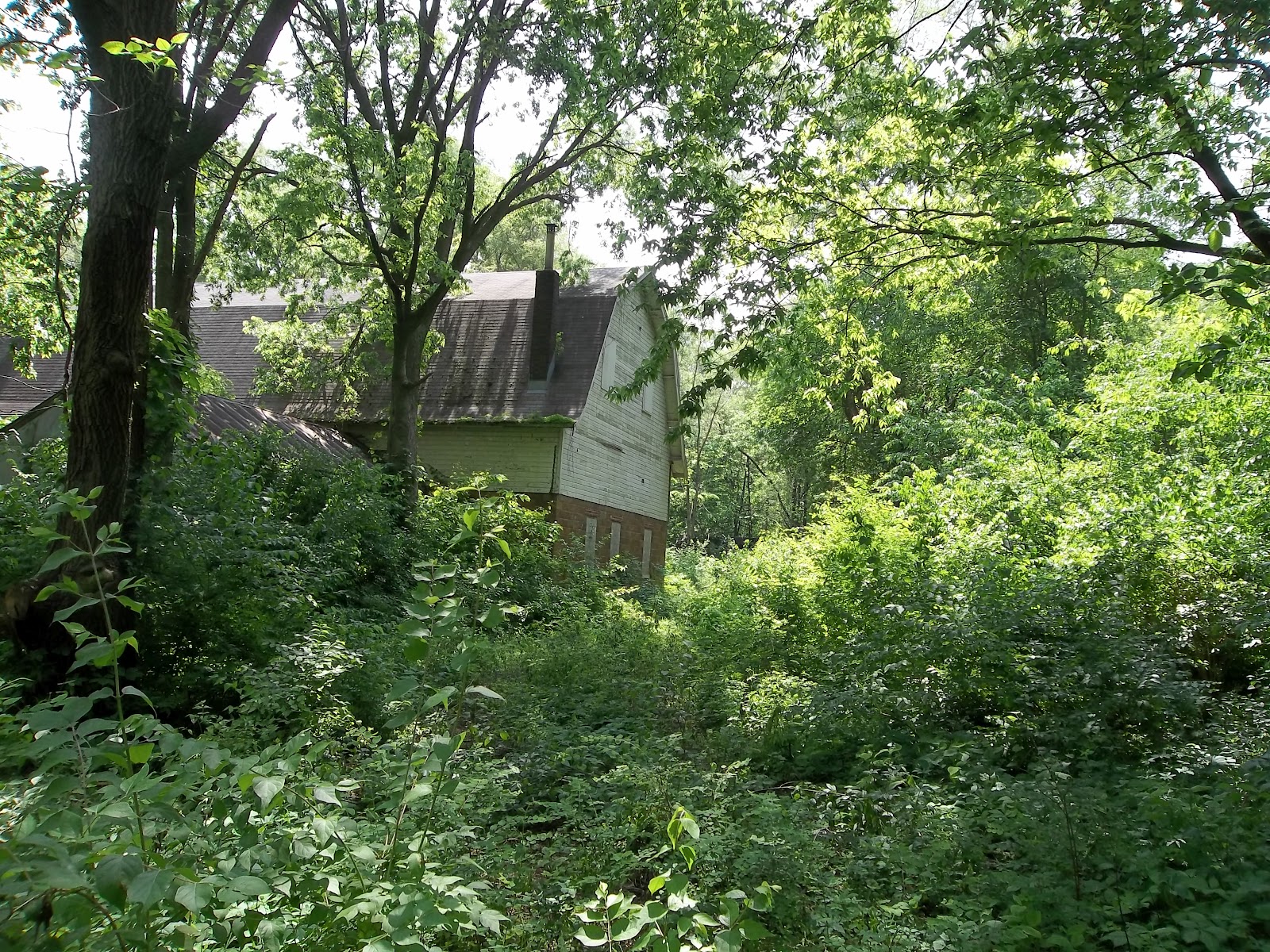
No trespassing signs on the barn and we were law abiding!

A snail was spotted on a twig.


River view from the very edge of the water. 

Looking North at Illinois River


After walking Gibson Parkway from Grandview Drive to Galena Road, PeoriaIllinoisian suggested that we might want to follow a trail off San Koty Road.  Sure, why not?  The trail is clean and well worn.  Along the trail is a very old barn.  It looks in pretty good shape for how old it must be.  There are a couple of boards missing from one end, but the roof looks good.  The trail leads to the edge of the Illinois River.  Nice view and a very comfortable stroll.

Saturday, April 7, 2012

Robinson Park


On more than one occasion I have been told to "go take a hike".  So I did!  Today I went to Robinson Park.  I parked in the lot on the north side of Mossville Road and trekked on the paths on that side of the road.  I made a big loop rather than go on the leg that went to Camp Wokanda.  There are some very steep slopes and I did take advantage of a log bench (and sometimes just a log) to rest a couple of times and I know I got my heart rate up pretty good several times! 

I crossed Mossville Road and hiked around a short loop and then to the bottom of the bluff by way of a different trail.  I was surprised at how many people were out walking today.  The trails were not crowded, but I did see quite a few people.  Saw some deer tracks, but no deer.  I will go to the park again and try the path going on to Camp Wokanda.  It is worth the trip if you enjoy hiking!

Some photos of the North trails:


 And from the South Trail:
Rusty old pump

Another rusty old pump

Old storm cellar?


Again, going down is easier than going up!

I'm glad I took a hike!